The Normalized Difference Vegetation Index (NDVI) is an index of plant “greenness” or photosynthetic activity, and is one of the most commonly used vegetation indices. Vegetation indices are based on the observation that different surfaces reflect different types of light differently.
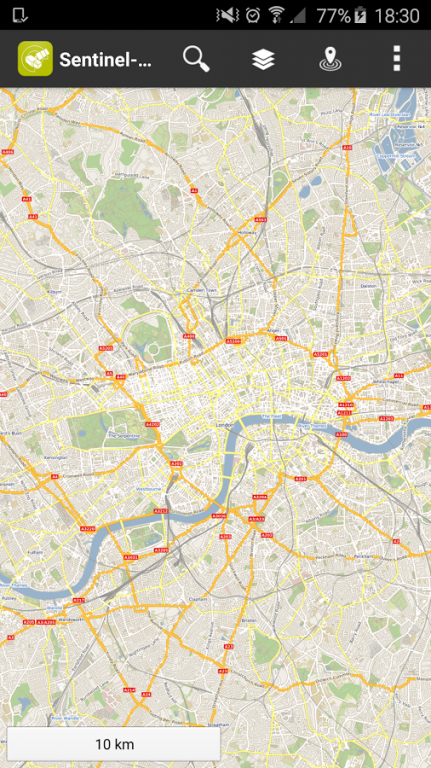
The Sentinel-2 NDVI Maps application presents the current NDVI map based on Sentinel-2 data, provided by Copernicus.
The following imagery layers are available:
- Open Street Map layers for general browsing
- Sentinel 2 NDVI imagery
- Sentinel 2 EVI imagery
- Sentinel 2 true color imagery
- Sentinel 2 false color imagery
Sentinel 2 layers have a minimum zoom level limit. They will only show on high zoom levels. This means that while you may zoom in as much as you want, it will not be possible to view very large areas.
Sentinel 2 layers also display only the latest image data with at most 20% cloud coverage.
The in-app payment will allow access to the following advanced features for one year after purchase:
- Sentinel 2 layers have a minimum zoom level of 12 which corresponds to four times the viewable surface area of the free version.
- Time shift functionality allowing you to choose which dates the imagery comes from by week.
We do not host Sentinel-2 NDVI Maps on our servers. We did not scan it for viruses, adware, spyware or other type of malware. This app is hosted by Galad and passed their terms and conditions to be listed there. We recommend caution when installing it.
The APK Download link for Sentinel-2 NDVI Maps is provided to you by apps112.com without any warranties, representations or guarantees of any kind, so access it at your own risk.
If you have questions regarding this particular app contact the publisher directly. For questions about the functionalities of apps112.com contact us.

|
| ||||
| Downloads: 20 | ||||
| Updated At: 2024-04-19 23:23:29 | ||||
| Publisher: Sinergise d.o.o. | ||||
| Operating System: Android | ||||
| License Type: Free |